Why
talking about Älvstranden here?
As mentioned, it's a very interesting example of how western capitalism
during the last decades changed it's centre of productions from industry
to the production and distribution of information. The focus shifts towards
immaterial work, intellectual production and information.
On the other hand Älvstranden is interesting, because it is very
much a prestige project for Göteborg and Sweden, it's meant - in
their own words - to put Göteborg on the global map of the information
industry. In that sense it's in a line with the function of the EU-summit
in June 2001 for the city and Sweden: the summit was supposed to work
as a way of presenting the swedish model, that Sweden could handle summits
another way, without the confrontations that took place in Seattle or
Praha. Riots and shots on protestors were for sure not what the people
in power wanted to stay in the mind of the world... so Göteborg was
put on the global map by a visible struggle and not by superficial solutions
and false pacification through dialogue (the heritage of the Swedish model).
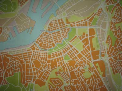
If we look at this map, it's interesting what one can see und what not, in which way power structures and struggles are visible on a map. For instance we can see this fortification in the center of the city, a trace of power and it's maintainance that, after centuries, is still visible in the city structure. It is a leftover of a permanent and solid power structure. With newer forms of power, it is harder to find their traces on such a visual level. New fortifications are more modular and temporary.
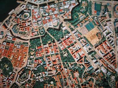
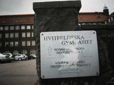
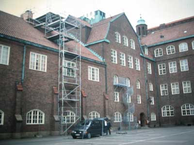
If we had this aerial view taken on June 14th 2001, we could pretty good see hundreds of containers put up around the area of Hvitfeldska school, closing in hundreds of protestors, and maybe the line of trucks bringing more containers over from the ports next to Älvstranden.
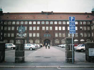
The power architecture of the new borders is very flexible and thus harder to depict, both in the Schengen countries as during summits, when whole parts of the city are closed down for some days. Whereas in the old days power and the struggles around it were inscribed into the actual city, so that traces stayed for centuries, now this is done more temporarily. Hvitfeldska just looks like a normal school today, there are no traces on a bigger scale left from June 2001.
